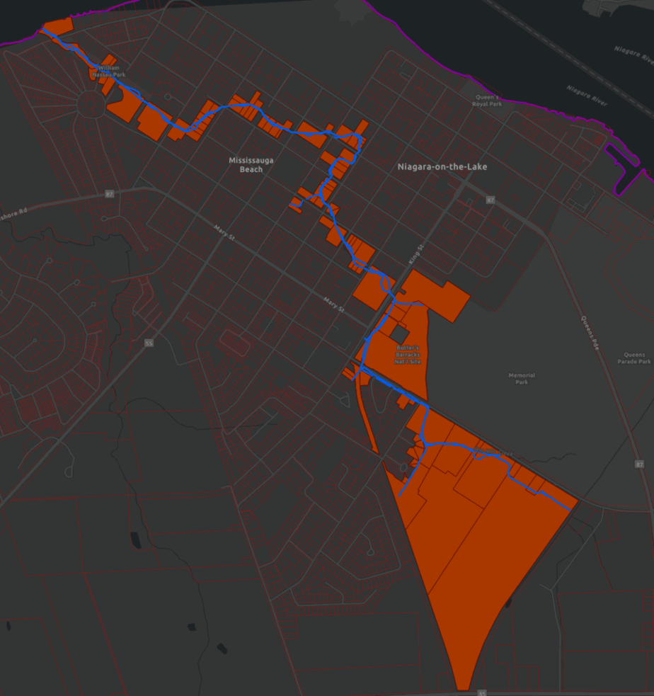
One Mile Creek is located within the Town of Niagara-on-the-Lake (NOTL) with its outlet about 1.6 kilometres (1 mile) to the west of where the Niagara River flows into Lake Ontario. Following the gentle natural contours of the land, One Mile Creek meanders through the Old Town neighbourhoods before pooling in Lansdowne Pond to reach the outlet to Lake Ontario.
The watershed is relatively small, with a drainage area to the creek outlet being approximately 5.2 square kilometres. The creek drains a highly urbanized watershed area and flows through mostly private property.
The headwaters of the creek is on Parks Canada land in the forested area known as Paradise Grove and the areas behind John Street such as Peller Estates Winery.
93 properties on the creek
The Niagara Peninsula Conservation Authority (NPCA) maps show 93 properties in Niagara on the Lake that intersect with One Mile Creek.

In the 1970s, to prevent flooding in Old Town, the construction of the Epps Drain upstream of John Street diverted a large portion of the headwater flows (about 30% of the drainage area) easterly to the Niagara River. As a result, One Mile Creek does not have enough water for regular flow in some summer periods. Major event flows (near the regional flood flow) overflow the Epps Drain and spill into One Mile Creek.
The William Street Pumping Station was constructed to convey flows from a portion of NOTL served by combined sewers, to the regional Water Pollution Control Plant. As of 2009, there are no more combined sewers in NOTL.
One Mile Creek reaches Lake Ontario at the area known as Mississauga Beach on Google Maps and online weather applications.
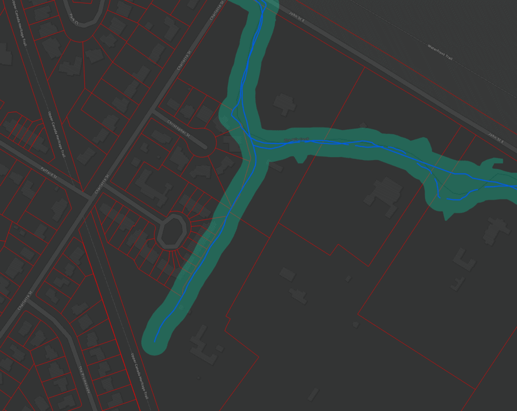
Tributary adjacent to Rand Estate
With the proposed subdivision development behind the Rand Estate on King Street, it’s also important to note that the tributary of One Mile Creek that runs behind Weatherstone and Christopher streets is regulated by the NPCA.

Here’s a location map:


Leave a Reply