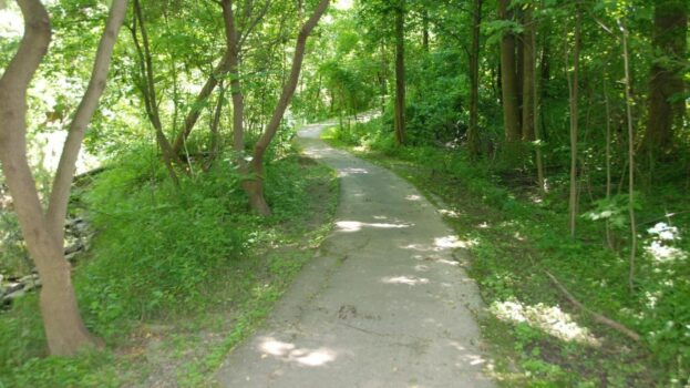
About One Mile Creek
Join FOMC
Resources
Updates
Provide your input to Town’s new strategic plan
After a new Council is elected, the Town updates its strategic plan. The purpose is so Council and provide a roadmap and ranking of priorities for Niagara-on-the-Lake over the next four years. You can provide your input on the 2022-2026 Council Strategic Plan Survey by completing an online survey by Thursday, June 1, 2023.
Read more
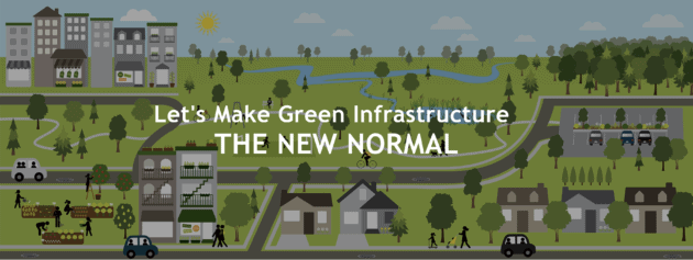
We need more green infrastructure in Niagara on the Lake
With all the discussion by federal and provincial governments about investment in infrastructure, Friends of One Mile Creek (FOMC) wants to increase the discussion about how green infrastructure can play a vital role in Niagara on the Lake through beneficial socio-economic and environmental assets.
Read more
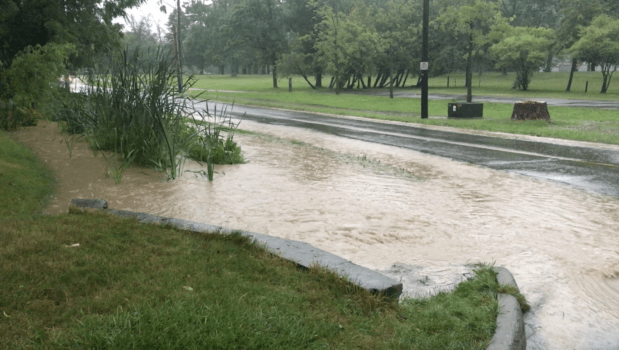
Resident worried about flooding from Rand Estate Development
A landowner with two properties on One Mile Creek has written to the Town to express concern that properties built downstream on One Mile Creek will incur more frequent, severe and costly damage if the Rand Estate Development, as currently proposed, is allowed to proceed.
Read more
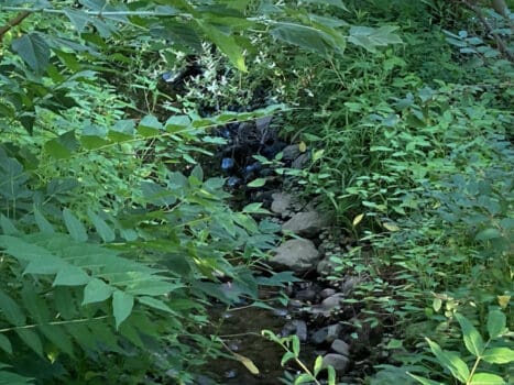
Rand Subdivision proposal increases risk for One Mile Creek flooding
The proposal by developer Benny Marotta for intense subdivision development on the land behind the Rand Estate on John Street increases the potential for flooding of One Mile Creek as it winds through Old Town in Niagara on the Lake. Friends of One Mile Creek (FOMC) made two presentations to raise concerns about the plans for water management in a five-hour Town Council Public Meeting on July 14.
Read more
NPCA rehabilitating Two Mile Creek Conservation Area
The Niagara Peninsula Conservation Authority (NPCA) will start July 5 with forest and stream rehabilitation at the Two Mile Creek Conservation Area in Niagara-on-the-Lake that is accessed at the end of Butler Street and from the Garrison Village neighbourhood. The work will remove dead ash trees and creek debris, plant new native trees to provide ecosystem diversity and ensure trail user safety.
Read more
Natural environment protections will be important in Niagara Region official plan
For the past several years, a detailed process has been underway by the regional government in Niagara to put in place a new Official Plan that will define how the Niagara Region will use available land over the next 30 years for physical, economic and social development.
Read more
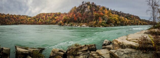
Canada slowly catching up to U.S. in supporting Ramsar for Niagara River
In late March 2021, the Niagara Regional Council voted to support the idea of a Ramsar designation of the Niagara River, under the 1971 Ramsar Convention, with a designation as a wetland of international importance.
Read more